Used the library at Kurumba to write a blog post and then went back to the seafood place for lunch. About 2pm I rode 40 km to Walker Creek where there is a freecamp. The road between Kurumba and Normanton is floodplain cattle country. Boring, mostly flat, grassland, horizon either direction, road looks the same heading north or south. And hot. Very little shade on the side of the road and the vast grassland just saps the water from you.
Sunday 10th July 2011
Rode 30 km back into to Normanton. Used the internet in the library to upload pictures. Grabbed some lunch from the cafe.
Met up with Adam again and met his mate Matt who was doing the Cairns to Darwin leg with him. They were still determined to ride the Burke Development Road (a continuation of the Savannah Way), which is unsealed, whereas I was happy enough to go the Matilda/Barkly/Stuart way to Darwin which is sealed. Basically I wasn't going to push my luck with wet weather and river crossing crocodiles. We stayed at the caravan park at Normanton for $10 per person.
Monday 11th July 2011
 |
| Breakfast of champions |
After some scrambled eggs for breakfast from the cafe, and then a quick visit to the bakery as well, I left Normanton to head back south along the Matilda Highway. I rode 112 km to the Bang Bang rest area. There was a headwind all day (because that's what you get when you head south). About 10 km into the ride there was a snake sunning itself in the middle of the road. I rode past the considerably venomous looking snake on the other side of the road that had slightly more room around the snake to ride down to get past it.
 |
| This is a big snake ok. Big enough. |
The country was nice and interesting with trees and shrubs to look at, and the road wasn't too busy.
Tuesday 12th July 2011


Rode 130 km to a Telstra Tower layby. Stopped at the Burke and Wills roadhouse for lunch (fish burger and coke). Met up with a fellow cycle tourist who I met earlier at the Normanton caravan park and also at Bang Bang rest area last night, who was presently tucking into a XXXX Gold. I have no idea how you can drink beer at lunch time when riding 140 km a day (let alone a four-X).
Filled up with plenty of water at the tap in the bbq area outside the pub. The Telstra Tower layby was a short dirt track with an unlocked gate, behind which there is a hidden patch of gravel which is good for a campfire and tent. The view from here was pretty nice. There was a wild pig making noises in the night (snorting) but I couldn't be bothered getting up to scare it (or for it to scare me) so I just went to sleep.
 |
| Wild camp under a microwave tower (that's the wires in the background) |
Wednesday 13th July 2011
 |
| Sunrise |
 |
| Rocky outcrops |
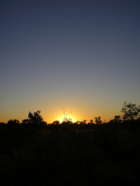
After watching sunrise over my little freecamp in amongst the interesting landscape, I rode 145 km to Cloncurry. The road was pretty good although the headwind was still there.


I stopped at Quamby roadhouse on the way, but they weren't cooking that day so I ate a Powerade and a packet of crisps. Arriving at Cloncurry around 6pm, I went to the Woolies and bought some jam and pikelets for breakfast. Wildcamped across the road from Wal's camp caravan park where there was a bit of a stacksite. I saw the sign saying $15 a camp on one side of the road, and a spot I could wildcamp on the other side of the road, so I did a bit of a $15 or free? $15, a shower, and lots of grey nomads asking questions, or free? Free won.

 |
| I think they sell beer |
 |
| Not far from Cloncurry |
Thursday 14th July 2011
Rode 105km to a stacksite about 20 km east of Mt Isa. I couldn't quite make it all the way to Mt Isa as it was getting dark. There are a few hills on the way to Mt Isa and I had an intermittent headwind/sidewind being gusty at me. I stopped for a late lunch about 2pm at the halfway point to Mt Isa where there is a rest area and cooked some pasta. Maybe if I didn't do this I may have made it into Mt Isa.There are interesting rocky hill things between Cloncurry and Mt Isa.


 |
| Road train action shot! |


Friday 15th July 2011
Rode 20 km into Mt Isa. On the way into Mt Isa you see a big billboard that has a picture of a miner and says "Welcome to the Isa. Now you're a real Aussie." This I believe is a reference to Quarry Australia.
Today was meant to be a rest day, off the bike. I went to the post office to pick up my post restante mail - replacement rear brakes as mine have seized up and are unusable, and also a new set of pedals as I can no longer adjust mine for ease of unclicking the cleats so I hardly ever click in.
Alas, the package was not there. It should have arrived 14 days previous. I still haven't heard anything about where the hell it got to. Australia Post plead ignorance, even though DHL have delivered it to regional Queensland. And DHL haven't got back to me either. Annoying. Very annoying.
 |
| ARGH WHERE THE F@%K ARE YOU? |
Rode another 10 k to the RSL to freecamp amongst the winnebagos in the carpark.
Saturday 16th July 2011
Leaving Mt Isa RSL I guess about 7.30 am and visiting a store on the way out, I'm now on the Barkly Highway on a Saturday morning and the traffic is heavy compared to what I'm used to in the outback. And everyone seems to be driving stupid. The shoulder isn't great and there are inclines to make it up and over, and plenty of trucks and roadtrains. I think I was just a bit spoilt on the Savannah and the Matilda with reasonably quiet roads. In the morning I was pulled over mucking about with my phone and I heard a roadbike on the road, looked around and there was a man I later came to know as Max (as that is his name) riding a touring bike with one pannier on it. So we chatted for a bit and then a campervan pulled over and his wife, Glynnis was driving it so we all had a chat for a bit. Then it was time for a cuppa for them so I kept riding and Max caught up with me again before my lunch break at a rest area around the half way mark for the day. About 10 kay on from there, it was Max's turn to drive the van and Glynnis' turn to ride her road bike in the afternoon. We were all heading to the same spot - the Inca Creek rest area, 120 kay out of Mt Isa.
Glynnis if you are reading this and I have spelled your name wrong, a thousand apologies but I have no clue when it comes to names. Remembering them, spelling them, and sometimes on a long day, what my own name is.
I guess around 4pm I make it to the rest area and of course Max and Glynnis are already there relaxing already. We had some more chat. After it got dark, we watched a bright orange moon rise over the highway, them drinking their tea and me still eating my pasta. Amazing. A roadtrain went past us standing on the side of the road staring at the moon and probably through we were crazy.

 |
| I really like this shot |
 |
| And this one. |
 |
| And this one. |
 |
| Back when I had 1606 k to go til Darwin. Pfft piece of cake. (Yesthephotoisalldarkinthewrongbitswhatever). |
Sunday 17th July 2011
Rode 70 k to Camooweal by 11 am and hit the roadhouse for a fish burger and juice. I didn't see Glynnis on the bike, but Max did pass me in the van. After filling up with water and buying more metho for the stove (you need to ask for metho as its not shown in the shop but is stored in the back), and sugar for my porridge, I continued riding over the border to Avon Downs because I have no idea what to do with myself if I'm not riding in the afternoon. All up it was 141 km to the Avon Downs rest area. The last 71 kay was boring boring grass floodplain. You try to appreciate it but when every kilometre looks exactly the same as the last you do get a bit over it.
 |
| This was a big ol' Southern Cross wind mill (no longer pumping water but spins and the shaft goes up and down regardless) |
 |
| Cliche shot. |
 |
| Someone had put a sticker above the simple picnic table symbol so it looked like a cross, or a different sort of "rest area". |
 |
| Dodgy phone camera makes for some special shots taken while riding. |
 |
| Early morning sand-still-in-your-eyes shot. |

 |
| Scaring a flock of Corellas |
 |
| Big sky |
 |
| Patchwork road |


 |
| Outback sunset |
100 km to the Wunarra store. I got there around 4pm and hang around the back in the shade. I attempted to fix my radio with the broken aerial but the wires had become disconnected at the circuit board so, not having a soldering iron handy, it was dead. AM ABC radio is all you can get out in the outback which would be great if it was radio national, but its ABC local radio. So you get to pick up ABC regional Queensland or whatever which is really difficult to listen to if you've ever read a book in your life and had an independent thought in your head. Everything is sensationalized and fear mongering. So you basically just listen to the noise of it for a little while until the redneck talkback bugs you too much and you switch it off. (I've since bought a new AM radio so fingers crossed I can tune into Radio National or something less Queensland on the lonely west coast).


Tuesday 19th July 2011
 |
| Sunrise at Wunarra Store |
 |
| Early morning on the road is the best time |

95 km to Barkly Roadhouse, which I arrived at by lunch time. Tailwinds are great :). I had some fish and chips at the roadhouse restaurant and payed my
$10 to camp. Max and Glynnis stayed here two nights so I got to catch up with them again. We all shared a whine about sharing the road with all the other road users and later we shared a wine pre-emptively toasting my 10,000 km click over. Max and Glynnis are from Rosebud and I hope to catch up with them for a coffee when I get back to Melbourne to see how they're going with their Europe tour planning if they haven't already taken off or been on it.
Wednesday 20th July 2011
120 km to 41 Mile Bore rest area. On the way, about 30 km from the rest area, I found some firewood on the side of the road so I broke it up and tied it to the front rack. I also had some smaller sticks and dead spinifex tied to the back. I met someone on a road bike riding the other way while I was carrying half a forest. He was half of another retired couple where one rides, the other drives, and they swap over.
I got to 41 Mile Bore around 4pm and find a shady spot to sit and read and hide from the grey nomad furious question askers.
Before the sun went down I got a roaring fire going to cook dinner. Unfortunately I had no marshmallows.
 |
| I actually carried all this firewood for 30 km tied to my front rack! Hobostyle. |
Thursday 21st July 2011
 |
| I had some three gee reception at this point (on top of a hill). You don't even get three gee reception out this way. |
 |
| 10,000 kilometres and I didn't miss the click over!!!! (About 10 kay from Three-Ways). |


Clicked over 10,000 km on the way to Three-Ways (the meeting of the Barkly and the Stuart Highways). Shortly after this I was rewarded with the sight of a late take off Wedgetail Eagle (leaving some roadkill on my approach). These birds are massive. And amazing. Their eagles, ok. They're awesome.
I think this was the day I met Frank from Germany who spoke little English, who was riding against the headwind to Tennant Creek this day. He just kept saying my bicycle was "perfect" and his english was in competition for my limited Deutsch which finishes around about the "Guten Tag" mark.
Rode to Three-Ways where I ate a burger and bought a stack of chocolate bars, then got some dirty water as backup incase I ran out of the clean stuff (I couldn't manage to find any clear water at three ways, even in the caravan park), and then on to Attack Creek rest area for a total of 120 km.
Actually I didn't stay at Attack Creek rest area. The rest area was full of caravans and motorhomes and there was no room for a little swag and bicycle. I went down to the dry creek bed which is rocky and under the bridge there is some "street art" or is that bridge art. I also looked at the cairn or monument explaining why its called Attack Creek. Apparently this is how far Stuart made it exploring back in 1860 before the natives started attacking him and his party, forcing them to turn back.
I rode back down the highway a tiny way to go down the road to a property, and found a little track going off and wild camped there. There were some amazing shrubbery with little birds flying around as the sun went down and I was happy for the peace away from the generators and caravans. And of course the stars were amazing.
Friday 22nd July 2011
 |
| As far as the eye can see |

 |
| Downhill yay! |
 |
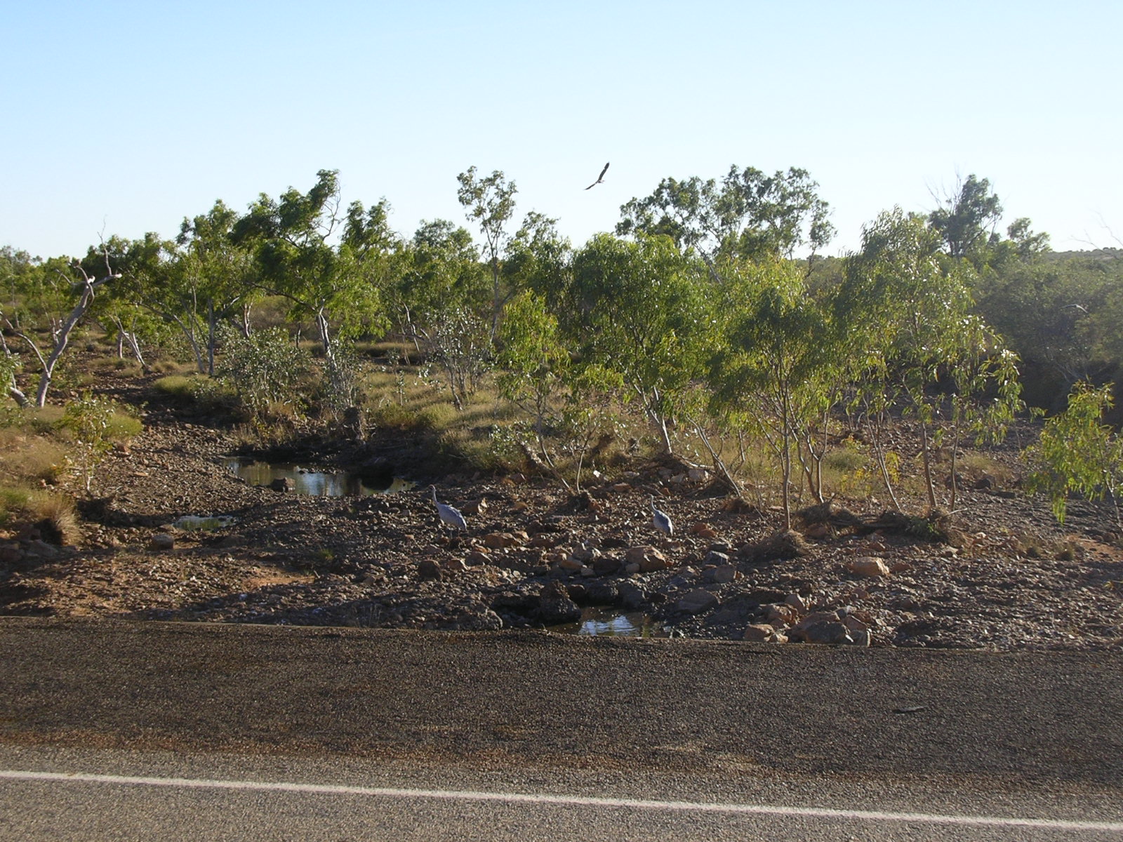
| Sometimes you can sneak up on the bird life in the little roadside waterholes. |
 |
| Windblown spinifex indicating my tailwind continues. |

I had another close encounter with a wedgetail this morning. All you can do is gasp at how awesome they are.
Rode to Renner Springs roadhouse by about 1pm and ordered one salad sandwich for now, one salad sandwich take away, and guzzled a can of softdrink on the spot. By this stage I was starting to run out of carbs - I had still some oats, but I was running out of pasta, rice and wholemeal biscuits (which I eat with peanut butter and vegemite instead of bread at lunch time). The only carbs available at Renner Springs apart from orders from the kitchen, or a loaf of bread which doesn't keep well, was a packet of 2008 vintage water crackers. I blew the dust off the packet in order to read the use-by date. The take-away sandwich was going to be my dinner as I didn't want to run out of carbs.
From Renner Springs I keep on riding, and clock up 130 km where I find a Telstra tower. I like these towers because I can see them coming up from a way off so I have a fair idea I could probably camp there if nothing else catches my eye, and they usually aren't occupied. I turn down the dirt road leading to the tower and encounter two caravans tucked in a layaway. The owners are friendly enough and don't bombard me with questions, leaving me alone to set up when I camp behind one of the caravans.
Saturday 23rd July 2011
After porridge for breakfast cooked with dead grevillia sticks and spinifex as the earth thinks about tilting a little more towards the sun, I get back on the road about 7.30 am. Early on I glance up from the white line and see a wedgetail eagle flying straight towards me down the road. Its about 1 metre above me and I raise one arm up (kinda stupid really) to wave at it. It flights right above me and my hand. I was grinning for ages after that.
I ride to Elliot, a mostly Aboriginal community. I get a fish burger from one of the two stores, and then go back down the road to the other store to buy some milk coffee biscuits (best carb content I could find in biscuit form on their shelves). $3.80. I buy also a 500g packet of macaroni for $4.50 (usually retails for 90c). Curiously, chocolate bars only cost $2.50 instead of $2.00.
I ride to Elliot, a mostly Aboriginal community. I get a fish burger from one of the two stores, and then go back down the road to the other store to buy some milk coffee biscuits (best carb content I could find in biscuit form on their shelves). $3.80. I buy also a 500g packet of macaroni for $4.50 (usually retails for 90c). Curiously, chocolate bars only cost $2.50 instead of $2.00.
After fixing a puncture (stupid Maxxis tyre) and filling up my water bottles, I ride on with my sights set on Newcastle Waters rest area.
The Newcastle Waters rest area looked more like a caravan sale yard. There were so many caravans, motorhomes, campers, vans, whatever packed in there and it wasn't even dark yet. Being as I'm antisocial and wouldn't be able to find a spot to roll out the swag if I tried, I kept riding. On past the turn-off for the "Historic Newcastle Waters township" I went and kept riding until about 1 hour before dark. I turned down a dirt road for a property. I'd noticed there was a fairly new firebreak or track cut on either side of the barbed wire for a few kilometres while I was riding. This had continued up to this property gate to which I rode down sneakily (I hid behind a fat wattle shrub when a car had driven past on the highway) and then at the gate I turned left to onto the new track parallel to the barbed fence to find a patch that wasn't covered in spikey spinifex which is hard to sleep on. Excellent. A beautiful spot surrounded by wattles and gums and spinifex and birds dancing in the evening light.
And then I got to see, through a small break in the trees off to the west, a glorious sunset over the land.
This was a 130 km day to this sneaky little freecamp. I just got out the bivvy bag, the sleeping bag, the sleeping mat, cooked some pasta, watched sunset and the birds and then when it got dark, watched a few shooting stars in the brilliant night sky and then slept beautifully in the quiet bush. I love freecamping by myself.
 |
| Early mornings are just delightful |
 |
| Careful you don't fall off the edge of the earth |
 |
| Sunset |
 |
| Sunset with flare. |
 |
| An amazing amazing sunset over the land. |
 |
| Wildcamp bivvy for the night in a small patch not covered in spikey spinifex. |
Sunday 24th July 2011
After a peaceful rest I wake up to the cold and get some porridge going. After fixing a puncture, I get on the road a little after 8 am.
 |
| Porridge is sooooo good on cold mornings. Or, every mornings. |
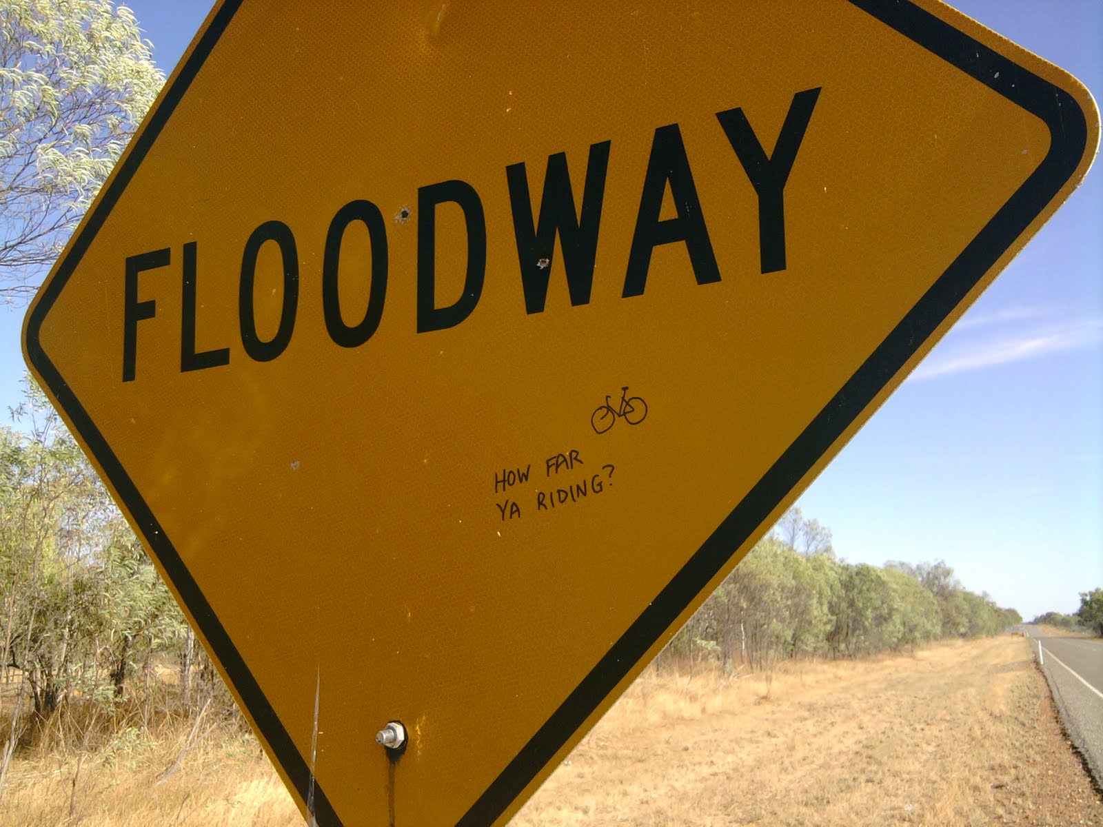
I see a tree on the side of the road about 40 km into my ride with orange fruit on it. I pick some with the intention of looking up the fruit in a book at some stage. (When I stayed with John and Yve I look it up in their bush foods book and it turns out to be Quinine tree, and medicinal not nutritious). Further along I see a paste-up on a floodway sign, which is curious as this is the outback, not Melbourne. But it does make me miss Melbourne, so I contribute this to the sign.
 |
| Quinine Tree. Good for tooth ache and abortions. |
 |
| Before... |
 |
| ... and after I get my nikko out. |
After riding to Dunmarra and then grabbing a salad sandwich takeaway from the Hiway Inn roadhouse (camping there was $7 but I kept going), I rode a total of 136 km to freecamp under a Telstra tower just near the "150 M" sign (that means 150 k to Mataranka). I went down a dirt road after checking no cars were coming down the highway, and through an unlocked gate. There was a cattle run with lots of hoof prints and dog prints just inside the gate, but I kept going a little further to the pad under the tower itself and there was a nice flat bit of gravel and red dirt and even a rock circle fire pit. Someone has camped here before. But I was there by myself that night. There were at least 60 apostlebirds here all chattering away, and also at least one wallaby and at least one bull making noise around sunset.
Monday 25th July 2011
 |
Wedgetail eagle on the side of the road that decided I wasn't worth flying away for. |


156 km to Mataranka. This is the biggest day I've ever ever done so far. I stopped for lunch (yes, you got it, a fish burger) at the Pink Panther pub at Larrimah around the 70 k mark and then got back on the road for Mataranka. About 20 k from Larrimah I see a cycle tourist heading the other direction so I go and chat to him. Martin is from Taiwan, riding a KHS and heading the wrong direction and into headwinds. He was aiming for Larrimah that day, from Mataranka. I warned him about the lack of grocery stores up ahead. He advised me to have a rest day at Mataranka. (And I didn't listen to him.)
I get to Mataranka around 6pm and nothing is open except a roadhouse where I couldn't camp because they have "septic problems" so I went down the road to Bitter Springs a short way to the caravan park with the restaurant and paid $12 to swag it and $16 for the smallest seafood basket dinner ever. I also grabbed a beer because I bloody deserve it.
There was a lot of noise, despite it being a Monday, from a handful of the local indigenous blokes yelling at each other drunk, but I managed to get some sleep.
Tuesday 26th July 2011


 |
| This shady tree was a lifesaver. Thank you tree! |
 |
| A bike path in the outback! About 5 k out of Katherine |
 |
| Every bike path must come with the obligatory temporary fence in the way without any signage. |
 |
| Toilet door instructions at Coco's backpackers |
110 km to Katherine
Wednesday 27th July 2011
 |
| Bike path for about 3 km out of Katherine. |
 |
| Snapped another tyre valve. It's just the extra long length ones I manage to do this to. |


After hotcakes for breakfast and doing some more shopping, I repaired a puncture (a slow leak I finally get around to fixing) and then go through the cyclists information binder/folder on the dining table at Cocos. There were a couple of pages titled "Water for Cyclists: Darwin to Perth" and the website for this is now dead so I go next door to the office supply shop and get these photocopied. The last update of this is 2002 so not sure how accurate it is. Maybe that's a project for me. I At about 11 am I finally leave, but just before I do, Sylvain from the day before shows up with his cart in pieces. It seems he had some trouble with wheel axles - one had snapped by the look. So, after wishing him better luck in his future travels, I took off for the 90 km ride to Pine Creek.
There was a 3 km bike path out of Katherine from the bridge over the Katherine River, you cross the road once and you're onto a gravel track that has a bit of obligatory unsigned closure at a bridge, but after that it is all good, running parallel to the highway at a comfortable distance. Once the three kays is up, though, you're turfed back onto the highway. At least the shoulder was a little wider here.
Thursday 28th July 2011


 |
| Obligatory cliche photo |


110 km to Gungurul camping area
Friday 29th July 2011


110 km to Jabiru. I stayed with John and Yve who I met on my first longer-than-a-weekend bicycle tour. They were also on bikes and we met in Myrtleford, Victoria back in January 2010. They're currently living in Jabiru so it was a great opportunity to catch up. They let me sleep in their backyard and even let me use their three man tent which I used without the fly (it gets pretty hot this far north).
Saturday 30th July 2011
Finally finally finally, a rest day. John offered to drive me around a bit in his ute so I could see some more of Kakadu national park. First up we visited Nourlangie rock with its great landscape, cool interior (under the overhang) and amazing rock art. After this we visited the Anbangbang Billabong. After some lunch, we headed out to Ubirr for sunset via the Border Store for an icecream and Cahills Crossing where two blokes were fishing on the causeway, standing in crocodile infested waters. Ubirr has many rock art galleries and with a little bit of a rock climb, an amazing view over the wetlands and out to East Alligator river. A very special place and a privilege to see.
 |
| View from Nourlangie |
 |
| View from Nourlangie |
 |
| Ahbangbang Billabong |
 |
| Ahbangbang Billabong |
 |
| Cahills Crossing |
 |
| Whenever fishing in crocodile infested waters, always be the skinny guy. |
 |
| Rock art |
 |
| Rock art |
 |
| Ubirr |
 |
| Ubirr |
 |
| Ubirr |
 |
| Ubirr sunset |
Sunday 31st July 2011
From Jabiru I said my goodbyes to John and Yve and set out on the Arnhem Highway to ride the 140 kilometres to Bark Hut. About 30 km in I stop at the Mamukala wetlands and visit the bird hide. There were many Jacanas.
 |
| Jacana or Lotus Bird (appears to walk on water) |
 |
| Mamukala wetlands |
There are a few interesting creek/river crossings/bridges on the way to Bark Hut, including Nanambu Creek, South Alligator River and the Wildman River branches. The Mary River is really nice and offers cruises to see the crocodiles. There is bird billabong also.
 |
| South Alligator River |

I stopped for a drink at the Corroboree Park service station. You pass over the Adelaide River also. Eventually you pass outside the park boundaries again and its defense force fencing after that I'm guessing by all the no trespassing and danger danger signs. Then it turns into cattle country, and you'll see the occasional horse.
It was getting pretty hot by the end of it and I was glad to make it to Bark Hut and grab a cold gatorade and a $10 campsite. While cooking dinner I was wondering why I kept getting gum leaves stuck to my thongs. It was because there was an abundance of lerp on the leaves. Lerp is a sticky white covering that psyllids put on gum leaves, a kind of honeydew on the leaf surface. This is a bushtucker item I had been looking for for a while, and basically you just find some of these on leaves that have fallen to the ground, wash it under water (if you're worried about dogs) and run each leaf between your teeth so that can catch the white sugary stuff.
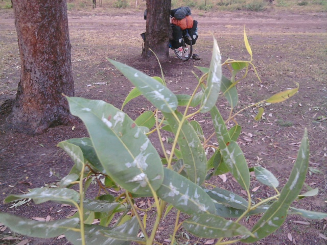

I just set up my mosquito netting using my bike and some tent poles to hold it up, and slept on a tarp and sleeping mat as it was quite a hot night. There is something crazy going on in the sky. I see at least four shooting stars every night. Meteor showers? Or maybe it's just how it is out here. There was one shooting star that lasted for ages and faded out slowly, which was breathtaking.
Monday 1st August 2011
After a sandwich and a toastie for breakfast, I continued on the Arnhem Hwy towards the Stuart Highway. At about lunch time I arrived at the Humpty Doo Hotel where the Darwin Cup public holiday meant the pub was packed to the rafters and the bar staff were frantic. I added to their misery by ordering a barra burger and a coke, but despite it being so busy I was served my meal in remarkable time, ate it in remarkable time, and was back on the road again.
As always when heading into a capital city, the road gets busy and the Stuart Highway into Darwin is no different. The shoulder is fairly wide but the traffic is still a little daunting if you've gotten used to not being used to it.
Around Pinelands you're forced off the road as it turns into a freeway and you ride around the block and end up going over an overpass. It's not until you're overpass that the bike directions start, which is a bit lacking, but if I managed to find the right way first time round it can't be too hard. The bike path is really nice - mostly away from the road, and through the back bushy parts of the outer suburban parts. And aside from the last 1 km into the city centre, where it turns into just dodgy footpath, it is a nice little path.
 |
| Overpass |
 |
| Sunset over Darwin Harbour |
Just for the record: 2439 km in 22 days, one rest day.